With quite a week of weather ahead of us, the NBC10 First Alert Weather Team is preparing you for severe threats that will have us under a First Alert.
A flooding rainstorm moved in Tuesday evening.
Flooding rains hit, impact residents, concertgoers
Flooding hit in Cherry Hill, New Jersey, and communities on both sides of the Delaware River.
Get top local stories in Philly delivered to you every morning. Sign up for NBC Philadelphia's News Headlines newsletter.
The flooding caused a weather-related delay at the Zach Bryan concert at Lincoln Financial Field in South Jersey.
The severe weather has moved out of the area and it is now safe to return to your seating area.
— LincolnFinancialFld (@LFFStadium) August 7, 2024
The estimated start time is 10:20PM
Flooded streets hit residents along the Delaware River in Beverly, New Jersey. Silver Park West Estates were hard hit with some rescue calls made and cars partially underwater.
"I got halfway down the street and water was all over the place," resident Ed Kwiatkowski said. "I just turned around and went home."
"It was coming down in buckets," Kwiatkowski said.
People were trying to pump out water from the area.
Flooding was also reported in Bristol, Bucks County, on the Pennsylvania side of the Delaware River.
Severe Thunderstorm Warning in NJ
Parts of Camden County were under a severe thunderstorm warning, the National Weather Service said. This warning expired at 10:15 p.m. on Aug. 6, 2024.
Flash Flood Warning for Pa., NJ
The National Weather Service extended the flash flood warning for parts of Chester and Montgomery counties until 10:30 p.m. on Aug. 6, 2024.
Parts of Camden County were also under a flash flood warning as the storms moved in until 10:45 p.m.
A flash flood warning was also issued for Burlington and Rancocas Woods, New Jersey, until 11:15 p.m.
Parts of Berks County were under a flash flood warning until 11:30 p.m., according to the National Weather Service.
Philadelphia, along with parts of Burlington and Bucks counties, were under a flash flood warning until 1:15 a.m. on Aug. 7, 2024, the National Weather Service said.
First Alert for flooding rain Tuesday into Wednesday
A FIRST ALERT for the main threat of flooding was in effect from Tuesday early Wednesday morning.

Before any of the storms took shape, it was a steamy and very uncomfortable muggy Tuesday. A high of 92 degrees felt like 101 in Philadelphia, and all that moisture helped fuel the storms in the afternoon and evening.
A flood watch was issued ahead of the storm in much of the region, including northern Delaware, Philadelphia, the Pennsylvania suburbs near the city and New Jersey counties closest to Philadelphia up to Mercer County.

The biggest threats with these storms are localized damaging downburst wind gusts and very heavy rainfall.
Storms started popping up during the afternoon and into the late afternoon hours. However, the heaviest rainfall occurred with a cold front moving into the area later this evening, which will also bring a threat of severe weather.
The excessive rainfall outlook had parts of our area at a moderate risk (something that isn't common around here) for numerous flash flood events. Heavy rainfall will also impact streams and rivers, especially throughout northern Delaware, South Jersey and southeastern Pennsylvania.
Most areas can expect to see a widespread 1 to 2+ inches of rain, with some locally higher amounts possible.
The flood threat is mainly driven by a cold front expected to move across the region in the afternoon and evening that would interact with very humid air. Some of this moisture is streaming north off of Debby, but that tropical storm will linger in the southern states until early Friday when it starts moving as a weakened depression into the northeast.
That area of moisture should continue to bring the chance of showers and downpours through Wednesday.
What might Debby bring heading into the weekend?
All eyes will be on the track of what is left of Debby.
Most models have this storm lingering just off the coast of the southeast United States, which would cause potentially catastrophic flooding from Northern Florida to the southern Georgia and South Carolina coasts.

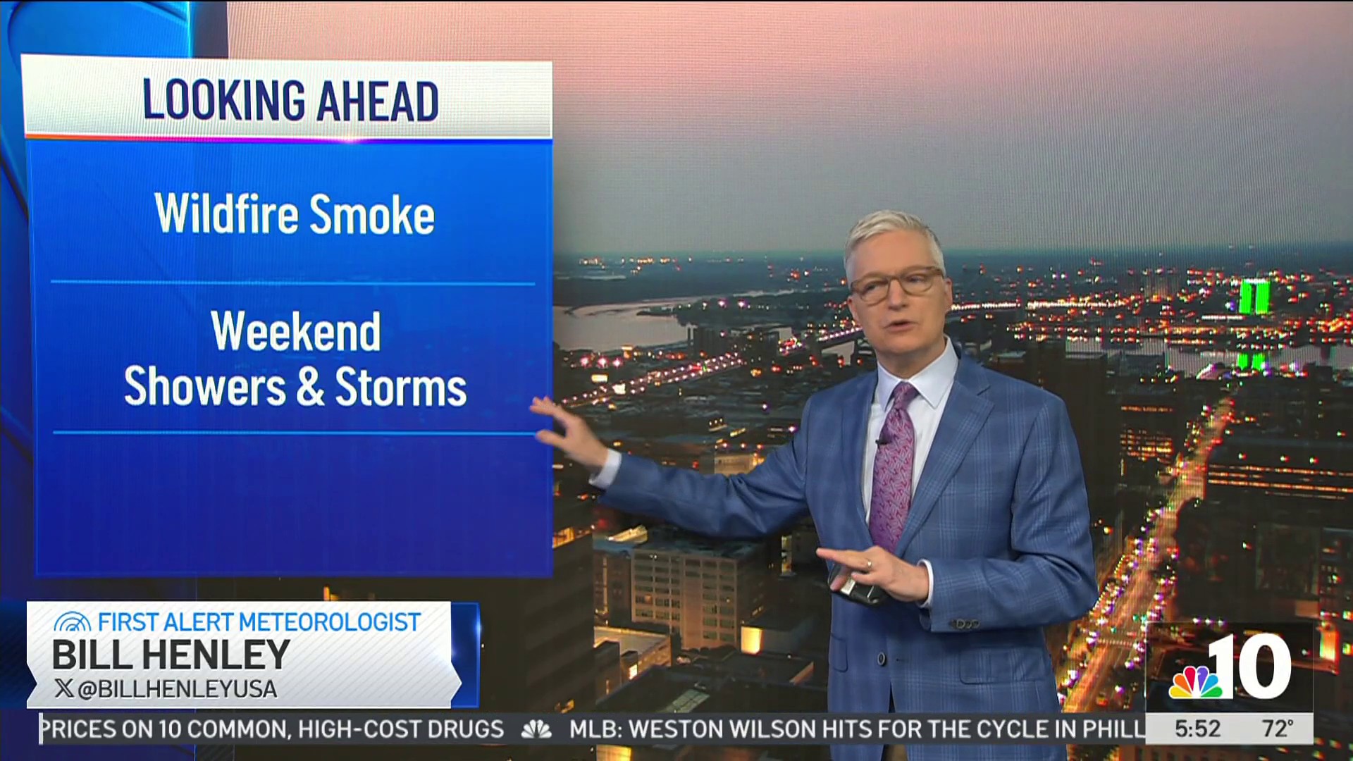
As Debby moves into the northeast on Friday and Saturday, we can expect more heavy rainfall in the region.
Commuter alerts expire
PATCO shared on X, formerly known as Twitter, that the tracks in Haddonfield were flooded Tuesday night, forcing trains to not run in either direction in that area.
Service was restored by Wednesday morning.
✅SERVICE RESTORED
— PATCO (@RidePATCO) August 7, 2024
Trains are running on or close to schedule, making stops at all stations. With the earlier flood waters receded, both tracks are now in use, and PATCO has resumed normal operations. We appreciate your patience and understanding during the service interruption.
SEPTA also reported that service was suspended between Media and Wawa stations due to down wires.
NJ Transit's River Line was reporting that service was suspended between the Waterfront Entertainment Center and the Walter Rand Transportation Center due to flooding in Camden.
"River Line service has resumed in both directions between Waterfront Entertainment Center and Walter Rand Transportation Center following earlier flooding conditions in Camden," the river line's X page said late Tuesday night.
Stay ahead of the storm with the NBC10 App
Stay tuned to keep track of all this moisture. And, be sure to have the most updated version of the NBC10 app downloaded to your phone so that we can alert you to weather warnings and changes in real-time.
Sign up for our Breaking newsletter to get the most urgent news stories in your inbox.


