What to Know
- A storm brought a wintry mix of snow, sleet and rain to the Delaware and Lehigh valleys Monday night into Tuesday morning.
- Some snow accumulated on grass, sidewalks and cars in colder neighborhoods, while many places dealt with mostly chilly rain.
- Once the wintry weather fully wraps up, expect skies to clear later on Tuesday.
Snow, sleet and rain. What you're getting as a storm continues to roll through Philadelphia and the Lehigh Valley overnight into Tuesday depends on where you are.
Cold rain fell in Philadelphia overnight while snow fell in the Lehigh Valley and parts of the northern Philly suburbs.
This, as expected, doesn't appear to have been a major snow event for most.
Get top local stories in Philly delivered to you every morning. >Sign up for NBC Philadelphia's News Headlines newsletter.
Storm Moved in Monday
Monday started with sunshine as temperatures rose into the 40s. Clouds then began to form later in the day. Some showers fell during the afternoon.
During the evening commute, the storm arrived with rain mostly everywhere in the region. The type of precipitation then changed as temps cooled in northern neighborhoods late Monday into early Tuesday.
Rain, Sleet and Snow: It Depends Where You Are
The Poconos and Lehigh Valley were the first places where the transition to a wintry mix and then snow took place Monday night.
By 8 p.m., many neighborhoods from the Philadelphia suburbs northward saw a wintry mix. Rain falls to points south.
Overnight, sleet and some snowflakes mixed in, but most neighborhoods in Philadelphia, the immediate Pennsylvania suburbs, South Jersey and Delaware remained above freezing, so little to no accumulation should was expected as the precipitation continued into early Tuesday.
Folks were urged to watch out for slick spots while driving.
For Those That Get Snow, How Much Will Fall?
Colder surfaces like grass, sidewalk and cars sitting through the night were most likely to get accumulation in the northern and western suburbs into the Lehigh Valley. You may have needed the snow scraper Tuesday morning.
The Poconos were expected to get up 6 inches -- and possibly more at the highest elevations -- of snow by Tuesday morning. Pocono Pines recorded 6 inches before daybreak, while Mount Pocono had 7.5 inches of snow by midmorning, according to the National Weather Service.
The northernmost parts of Berks and Lehigh counties, as well as most of Northampton County were expected to get up to a few inches of snow, leading to slippery conditions on untreated surfaces and roads. Neighborhoods flirted with the freezing mark overnight, limiting snowfall.
Central Berks, southern Lehigh and northernmost Bucks and Montgomery counties were expected to get an inch or two of wintry accumulation.
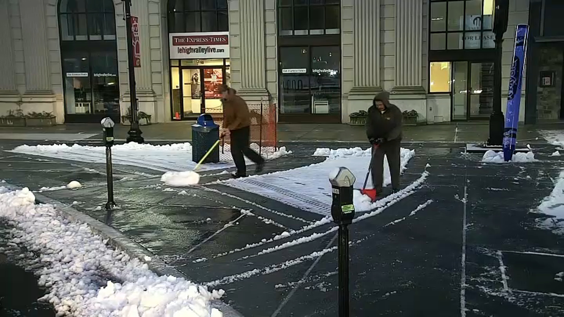
Bangor in Northampton County recorded 3 inches of snow, while Allentown in Lehigh County and Springfield Township in Bucks County recorded a little more than 2 inches. In Easton, Northampton County, crews could be seen using shovels to push snow off the ground.
Closer to Philly, Willow Grove, Montgomery County, got an inch, while East Nantmeal Township in Chester County only got around a third of an inch of snow.
Several school districts decided to open late Tuesday to give everyone a little extra time to get going. Click here for the schools closings list.
In the more immediate Pennsylvania suburbs and possibly into the most northern parts of Philadelphia, nothing worth shoveling fell as most of (any) snowflakes melted as they fell as temps remained above freezing.
Most of Philadelphia, Delaware County, southern Chester County, South Jersey and Delaware got mostly chilly rain.
Showers lingered into Tuesday morning, but skies should clear by the afternoon. Once the system moves out, expect temps to rise into the 40s later in the day.
Be sure to keep ahead of whatever weather hits by downloading the NBC10 app for the latest weather forecasts, weather alerts and for live radar.


