What to Know
- Heavy overnight rain has ushered in gusty winds (and possibly snow for some) with it.
- The storm started with just rain Wednesday night into early Thursday morning.
- In the wake of the rain, temps drop leading to accumulating snow on the Poconos Mountains and potentially the first snowflakes of the season reaching into southeastern Pennsylvania (or further south) Friday.
- Be sure to have the most up-to-date version of the NBC10 app downloaded to your advice to get weather updates and track the wet weather with our live radar.
Editor's note (Nov. 21, 2024, 11:05 a.m.): This story is no longer being updated. For the latest on Friday's snow and rain, click here.
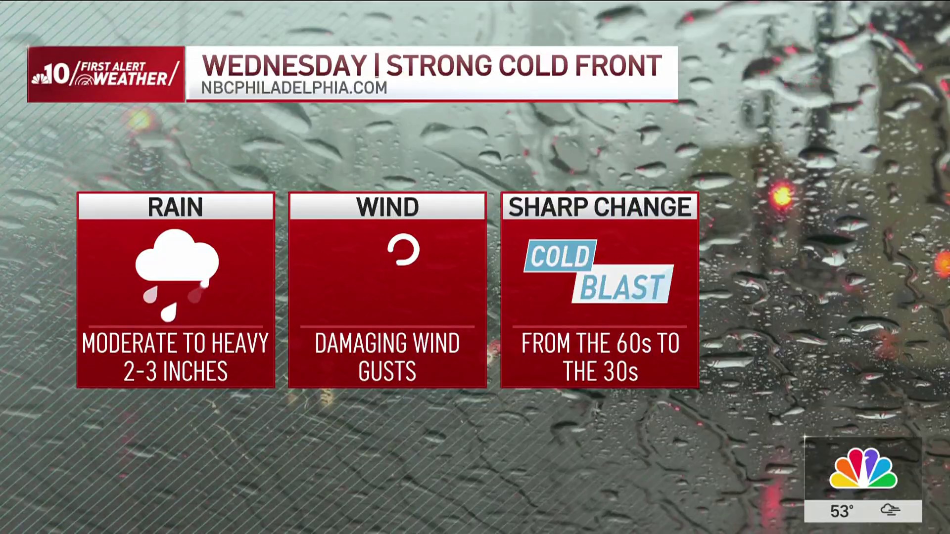
Some much-needed November Rain pushed through the Philadelphia region Wednesday night and before the dayslong storm moves out it should bring the first snowflakes of the season to the Poconos, northern parts of the area and possibly as far south as Delaware and South Jersey.
Even though snow is expected to stick in the Pocono Mountains, folks in Philadelphia and the surrounding suburbs shouldn't expect to need their snow shovel any time soon. And, sorry kids, no need to cancel school.
Get top local stories in Philly delivered to you every morning. >Sign up for NBC Philadelphia's News Headlines newsletter.
The weather change is definitely a shock to the system after weeks of mostly mild, sunny and dry fall weather in the Delaware Valley.
All of our neighborhoods should got rain Wednesday night into early Thursday. In the morning some windswept light showers continued. In the wake of that rain gusty winds kick in with a cold blast setting the stage for snow late Thursday night into Friday.
Weather Stories
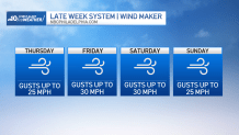
The gusty conditions then stick around into the weekend, but the wet weather will not.
This is a big and complex system, so changes are likely in the hours ahead. So stay tuned with the First Alert Weather Team on air and in our NBC10 app.
The First Alert Weather Team is getting you prepared and breaking it all down for you:
❄️Backend of storm to possibly bring first snowflakes to many, accumulating snow in Poconos
Bands of precipitation move back in heading into Friday. That should lead to the first snow of the season in parts of the region and some of that snow sticking in the Poconos and Lehigh Valley.
Enough cold air will be in place for a transition to snow to occur up in the Pocono Mountains and possibly down into the Lehigh Valley and northernmost suburbs should cold air from Canada push further south. Several inches of snow could fall in the mountains, with less than an inch sticking mostly to lawns and colder surfaces in parts of the Lehigh Valley and Berks County.
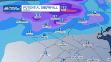
In the Pennsylvania and New Jersey suburbs, Philadelphia and points south, it could be dry overnight, but some snow develops Friday morning as temps begin to climb. This will likely result in one of those scenarios where we watch the pretty snowflakes fall, but see it melt when it hits the ground.
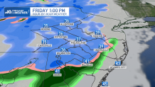
We don't expect to see any major travel issues in the Philadelphia region from this storm. However, if you are heading north Thursday night into Friday, a winter storm warning is in effect for the Poconos and points north, leading to trouble on the roads.
Friday will be the coldest day of the week, highs below normal and getting only in the 40s. Temps staying above freezing means that any snowflakes will likely mix with or change into rain as the day goes on.
We should finally dry out Friday evening.
November rain to soak Philadelphia region
Warm air moved in on Wednesday, setting us up for the first significant rainfall we've had in sometime.
The rain -- fueled by a storm pushing in from the west -- begin late on Wednesday, Nov. 20, 2024. The heaviest rain -- including downpours -- hit Wednesday night as that familiar sound of pitter patter hit roofs in the region.
Some cracks of thunder and flashes of lightning were reported.
The rain mostly wrapped up by the Thursday morning commute, but some bands of light rain could linger.
You then should see winds on Thursday gusting up to 35 mph along coastal points and around 25 mph in Philadelphia and surrounding communities. This will usher in the colder air that sets up the snow.
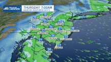
We need this rain, badly. A half an inch up to an inch or more fell Wednesday night into Thursday morning.
Unfortunately, the rain won't put much of a dent in the drought conditions that have turned many lawns into dust bowls, led to wildfires and caused some water usage restrictions. However, it should have helped to douse the fires.
Winds keep blowing into weekend
Winds will start gusting with this storm and could lead to some isolated power outages, but none of the impacts are expected to be widespread as the severe weather threat is minimal.
Winds should gust between 25 to 30 mph for several days before finally calming down on Sunday, just in time for the start of the AACR Philadelphia Marathon.
Sign up for our Breaking newsletter to get the most urgent news stories in your inbox.


