What to Know
- After a storm brought heavy rain and some thunderstorms Wednesday night into early Thursday, the cold, blustery air it ushered in will bring the first first snowflakes of the season to many neighborhoods in Pennsylvania.
- Hardest hit will be the higher elevations in the Poconos, where a winter storm warning will be in effect as heavy snow and gusty winds are expected to lead to travel troubles and possible power outages.
- Some of the snow could stick to grass and colder surfaces in the Lehigh Valley and northernmost Pennsylvania suburbs. However, in Philadelphia, South Jersey and surrounding communities, any snow that falls is expected to melt as it hits the ground.
- Be sure to have the most up-to-date version of the NBC10 app downloaded to your advice to get weather updates and track the wet weather with our live radar.
After some much-needed November Rain drenched the Philadelphia region, all eyes are now focused on the sky for another round of wet weather, this one bringing rain and the possibility of snow before the end of the workweek.
Inches of snow are expected to stick in the Pocono Mountains where a winter storm warning for difficult driving conditions goes into effect for 24 hours beginning at 4 p.m. on Thursday, Nov. 21, 2024. Meanwhile, folks in Philadelphia and the surrounding suburbs won't need their snow shovels Friday and kids will have to go to school.
No matter where you are, temps are chilly Thursday and Friday, not getting out of the 40s and feeling even colder thanks to blustery wind gusts. Those gusty conditions then stick around into the weekend, but the wet weather will not.
Get top local stories in Philly delivered to you every morning. Sign up for NBC Philadelphia's News Headlines newsletter.
This weather change is definitely a shock to the system after weeks of mostly mild, sunny and dry fall weather in the Delaware Valley. So grab your jackets and stay tuned with the First Alert Weather Team on air and in our NBC10 app for the most up-to-date forecasts and any alerts.
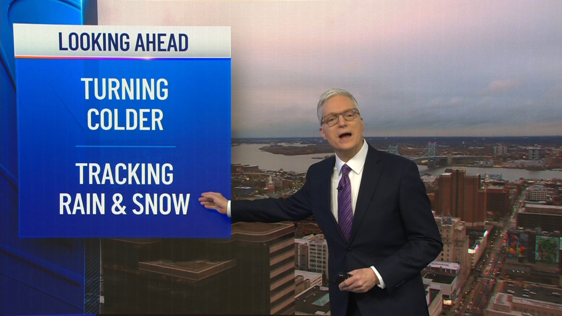
Meteorologist Bill Henley and the First Alert Weather Team is getting you prepared and breaking it all down for you:
Weather Stories
❄️First snowflakes possible for many, but will it stick?
Bands of precipitation move back in during the day Friday. That should lead to the first snow of the season in parts of the region and some of that snow sticking in the Poconos and possibly some parts of the Lehigh Valley.
Snow is expected to fall through the night late Thursday into Friday in the Poconos. However, the precipitation doesn't reach into the Lehigh Valley and surrounding communities until after daybreak Friday.
In Philadelphia and surrounding suburbs the precipitation arrives later in the morning and into Friday afternoon. Temps will above freezing so rain is most likely, but you could see some snow mixing in. However, none of that possible snow is expected to stick.

How much snow will fall in Pennsylvania?
Enough cold air will be in place for it to just snow in the upper elevations of the Pocono Mountains. But, when the wet weather hits in the Lehigh Valley and northernmost suburbs, temps will be borderline freezing.
Because precipitation in the Lehigh and Delaware valleys isn't expected to start until after sunrise, temps will gradually climb and make it difficult for snow to stick. However, you could see a dusting if the colder air hangs on for longer.
Several inches of snow could fall in the mountains -- up to half a foot (or more) in some places, with less than an inch sticking mostly to lawns and colder surfaces in parts of the Lehigh Valley, Berks County and higher-elevated Pennsylvania suburbs. Closer to Philadelphia don't expect much more than just snowflakes that melt as they hit the ground.

We don't expect to see any major travel issues in the Philadelphia region from this storm. However, if you're heading north Thursday night into Friday, a winter storm warning is in effect for the Poconos and points north, leading to trouble on the roads. So, if you are heading to the mountains get going earlier on Thursday or wait until the weekend.

We should finally dry out Friday evening, leading to a dry, but blustery weekend.
Winds keep blowing into weekend
Gusty winds will blow on Thursday and Friday -- with gusts in some places exceeding 30 mph.

Gusty winds continue on Saturday (sorry half marathon runners), but will back off a bit on Sunday, just in time for the the AACR Philadelphia Marathon -- though it will be chilly with morning temps in the 40s to start.
Sign up for our Breaking newsletter to get the most urgent news stories in your inbox.


