Dreaming of a white Christmas?
You might have gotten a bit of a snowy Christmas Eve -- hope that makes your dream come true, especially if some of that snow stays on the ground for Christmas.
However, this isn't just pretty snow as icy conditions on roads could lead to tricky travel. A First Alert for those slippery conditions caused by the snow, sleet and some freezing rain on Tuesday, Dec. 24, 2024.
Get top local stories in Philly delivered to you every morning. >Sign up for NBC Philadelphia's News Headlines newsletter.
By late morning, the snow and ice were mostly out of the region. Here is what happened.
Snow, ice during Christmas Eve day 🎄❄️
Weather Stories
In our area, as expected we saw some light snow north of west of Philadelphia Tuesday morning before moving south and east closer to the I-95 during the morning. Closer to Philly, a mix of snow and freezing rain fell, leaving a slushy mess on the ground.
The National Weather Service issued a winter weather advisory originally from 5 a.m. to 1 p.m. on Tuesday for northern Delaware, Philadelphia, and the immediate suburbs in Pennsylvania and New Jersey. By 11 a.m., the advisory only remains in South Jersey.
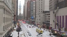
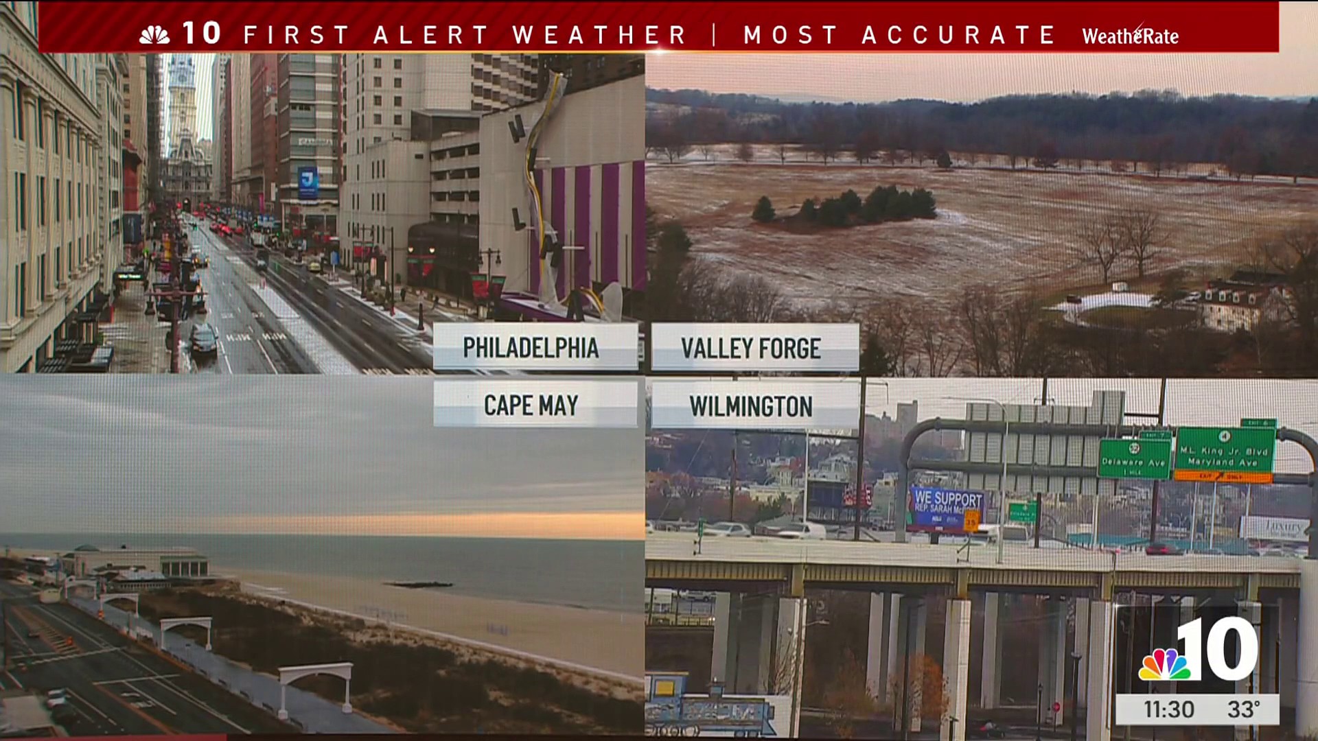
By 6 a.m., snow could be seen falling in some of the Pennsylvania suburbs up into the Pocono Mountains. By 8 a.m., a coating of snow could be seen on Broad Street in Philadelphia.

This disturbance moved through quick, so very little precipitation -- if any -- fell closer to the coast.
By 9:30 a.m., the system had already moved past the Pennsylvania suburbs. By 11 a.m., most of the icy weather was gone from the New Jersey coast.
The system didn't pack much moisture and temps rose as it quickly moved through, tamping down any snow totals, First Alert Weather meteorologist James Gregorio.
How much snow fell?
As expected, this was not a big storm.
"Total snow accumulations up to one inch and ice accumulations around a light glaze" could happen, the National Weather Service said.
Some snow stuck on the ground from the Poconos to the Lehigh Valley to the Pennsylvania suburbs. In some of those places, snow was already covering lawns after Friday night's storm, adding a fresh coating. The snow even stuck into Philadelphia, leaving a white coating on streets and sidewalks.
The totals wound up right on point with the predictions with 1.1 inches in Bushkill Township and 1 inch in Nazareth in the Lehigh Valley. Lambertville, New Jersey, and New Hope, Bucks County, each also got an inch. Center City Philadelphia got around 0.2 of an inch.
Some spots in the Poconos, however, got up to 2 inches.
Take caution even with the snow and ice out of here. First Alert Weather meteorologist Marvin Gomez reminds drivers that even a thin layer of ice can be extremely dangerous. So, take it easy while driving to grandma's house for the holiday.
James Gregorio says the best bet was to stay off roads until things started to clear up, which happened as expected late morning. As temps continue to rise during the afternoon, that slushy mess could melt away.
What's it look like by you?
Send us your snow photos and videos by clicking here.
What's the weather for Christmas looking like? 🎄☀️
By Tuesday afternoon, the sun should return and temps will climb about 10 degrees higher than Monday.
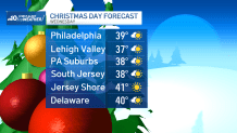
The sunshine stays with us the rest of the week -- including Christmas Wednesday -- with temperatures close to 40.

Stay ahead of any of the wintry weather by tracking live radar and the latest forecasts on the NBC10 app (download it now) and on NBC10 News.
Sign up for our Breaking newsletter to get the most urgent news stories in your inbox.


